My idea here is to offer the photographer, but also the visitor, the chance to discover the great Parisian landmarks (monuments, buildings, bridges, etc.). The idea is to use public transport, with as few metro or bus lines as possible to get to these places. Some places within the same perimeter can also be visited simply on foot (more on this later). This is not a tourist guide in the strict sense of the word, but rather a way of visiting as many places as possible in as little time as possible.
Before getting into the subject, two points need to be made:
- The map of Paris below: I made it myself... so it's not millimetrically accurate, although I've taken care to respect distances as closely as possible.
- Listed spots: Paris has countless interesting places that I haven't necessarily photographed. Everyone can classify them according to their tastes and/or priorities when visiting the city. The map shows only the places I photograph regularly. The great classics, which could also be called must-sees, are included, and I'll illustrate them with the photographs below.
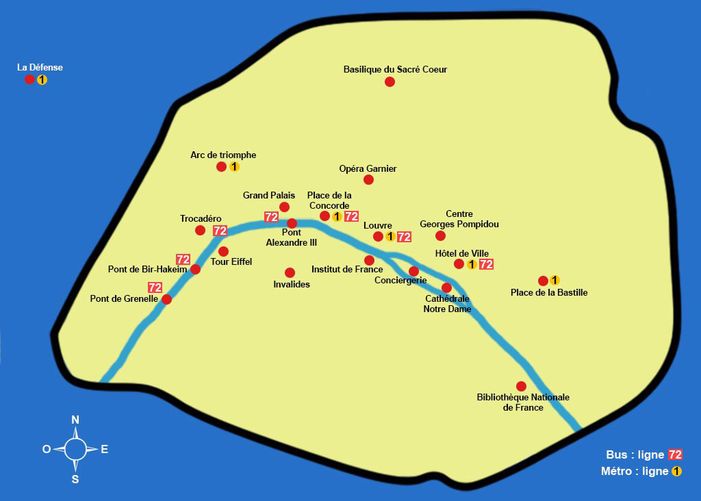
If you look at this map, you'll immediately notice that many of the most famous places are along the Seine (you can find a picture article on the blog dedicated to the banks of the Seine). It would be very difficult for me to give a preference here, as I love them all, but if I were to take a touristic approach, I could mention the Eiffel Tower, the Louvre and Notre Dame Cathedral, as these are certainly the most visited and photographed places. As you'll also notice, some places are on the left bank (south of the Seine), and others on the right bank (north of the Seine). It's easy to get from one bank to the other (and therefore from one place to another) on foot, as Paris has many bridges, and distances between two points are often short. As a result, Parisian bridges are often of great photographic interest (my favorite being the Pont Alexandre III). I've also dedicated a topic to this bridge on this blog.
Here are a few examples (from west to east on the map):
- from the Eiffel Tower to the Trocadero, crossing the Pont d'Iéna.
- from the Invalides to the Grand Palais (near the Champs Elysées), crossing the Alexandre III bridge.
- from the Louvre (starting from the pyramid) to the Institut de France, crossing the Pont des Arts.
- from the Hôtel de Ville to Notre Dame Cathedral, crossing the Pont d'Arcole.
For the above examples, you'll need to allow about 10 to 15 minutes' walking at a "normal" pace.
Turning now to public transport, it is interesting to note that Metro line N°1 (La Défense- Château de Vincennes) passes through several of the locations shown on the map:
- La Défense (for fans of modern architecture).
- The Arc de Triomphe (and therefore the Avenue des Champs Élysées).
- Place de la Concorde (with its two magnificent fountains of rivers and seas, and the Luxor Obelisk).
- The Louvre (the museum and the pyramid).
- L'Hôtel de Ville (near the Centre Georges Pompidou).
- Place de la Bastille.
As far as bus travel is concerned, the N°72 line (Porte de Saint-Cloud - Hôtel de Ville) is in my opinion the most interesting, as it passes by the Bir-Hakeim bridge, the Eiffel Tower (at the Pont d'Iéna), the Alexandre III bridge, the Louvre and the Hôtel de Ville.
I'd now like to return to two places shown on the map, but which I haven't yet mentioned, as they are "off-center" from the two transport lines mentioned so far. I'm thinking in particular of the Basilique du Sacré Coeur in Montmartre, a must-see tourist attraction. There are, of course, several possible combinations for getting there, but if we stay with the logic of this article, the N°2 metro line (Porte Dauphine - Nation) takes you directly there, leaving from the Charles de Gaulle - Étoile (Arc de Triomphe) station, and getting off at the Anvers station (you'll then have to walk for about ten minutes).
For the Opéra Garnier, which is also just a short walk from the Parisian department stores (Galeries Lafayette and Le Printemps), and above all from their terraces, which offer beautiful views, metro line N° 8 (Balard - Créteil) takes you there in two stations (get off at Opéra) from the Concorde station. You can also walk from Place de la Concorde to the Opéra Garnier in around fifteen minutes.
So that's how I get around when I'm out photographing, and how I can easily visit our magnificent capital. Once again, the list of places and ways to get there is by no means exhaustive. I could have mentioned, for example, getting around on the Seine with the Batobus or the Vélib system. Paris has many ways of getting around. Finally, I've added to the image gallery a few places that aren't listed on the map, but which are of particular interest when visiting our magnificent capital.
Enjoy your visit!
Click on the thumbnails to enlarge the images
The Seine waterfront and the Mirabeau Bridge
The Seine waterfront

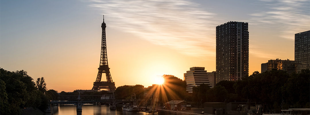
The Eiffel Tower and the Seine waterfront
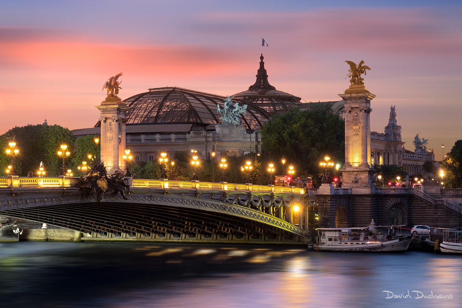
The Grand Palais and the Alexandre III Bridge
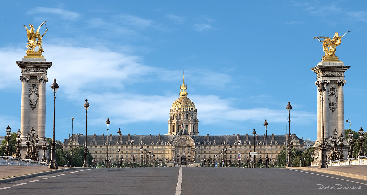
Les Invalides
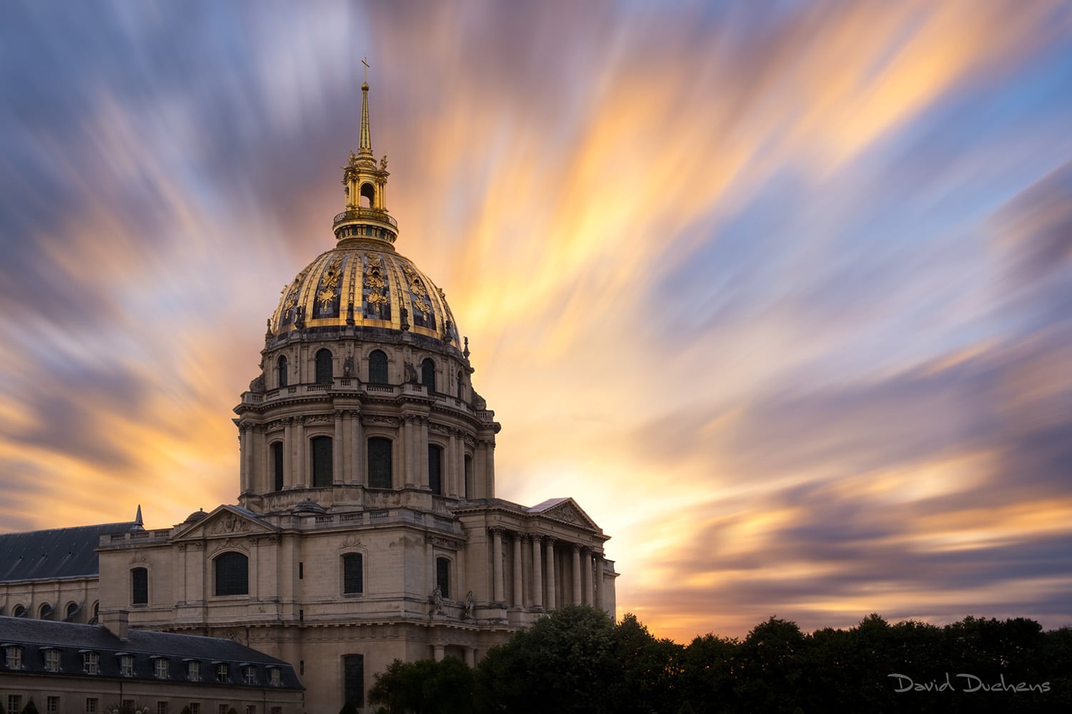
Invalides church
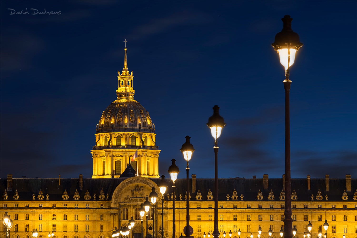
Les Invalides
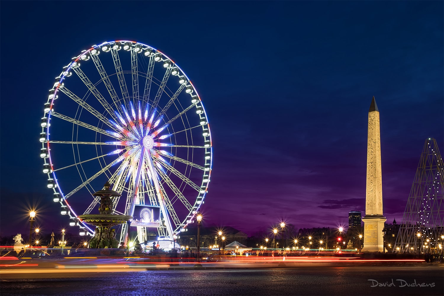
Ferris wheel and obelisk, Place de la Concorde
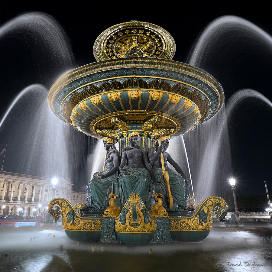
The Fountain of Rivers, Place de la Concorde
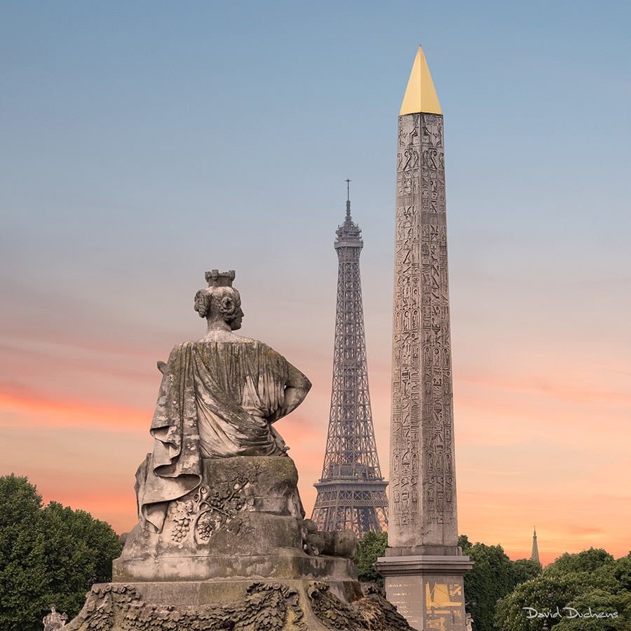
Place de la Concorde
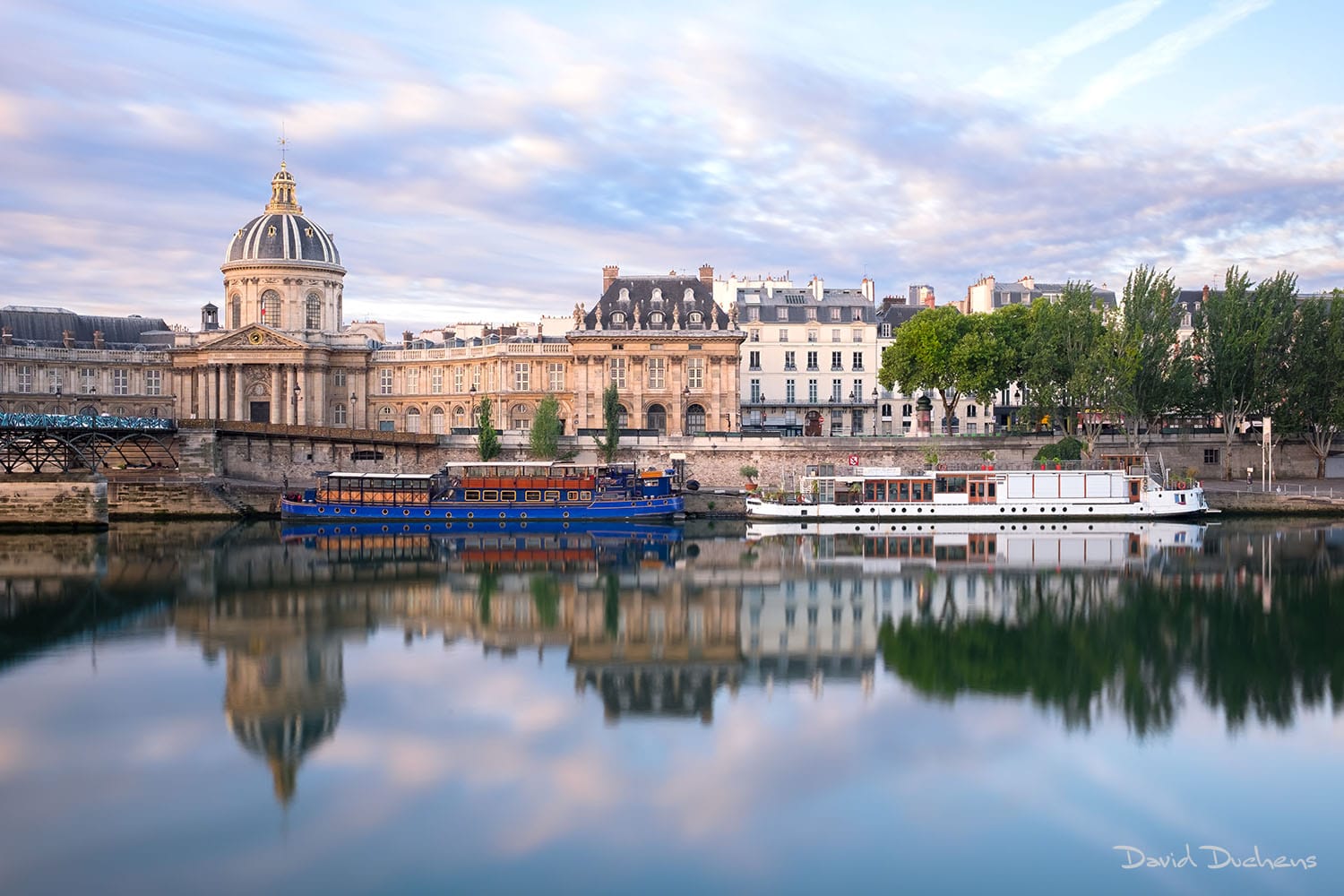
Institut de France
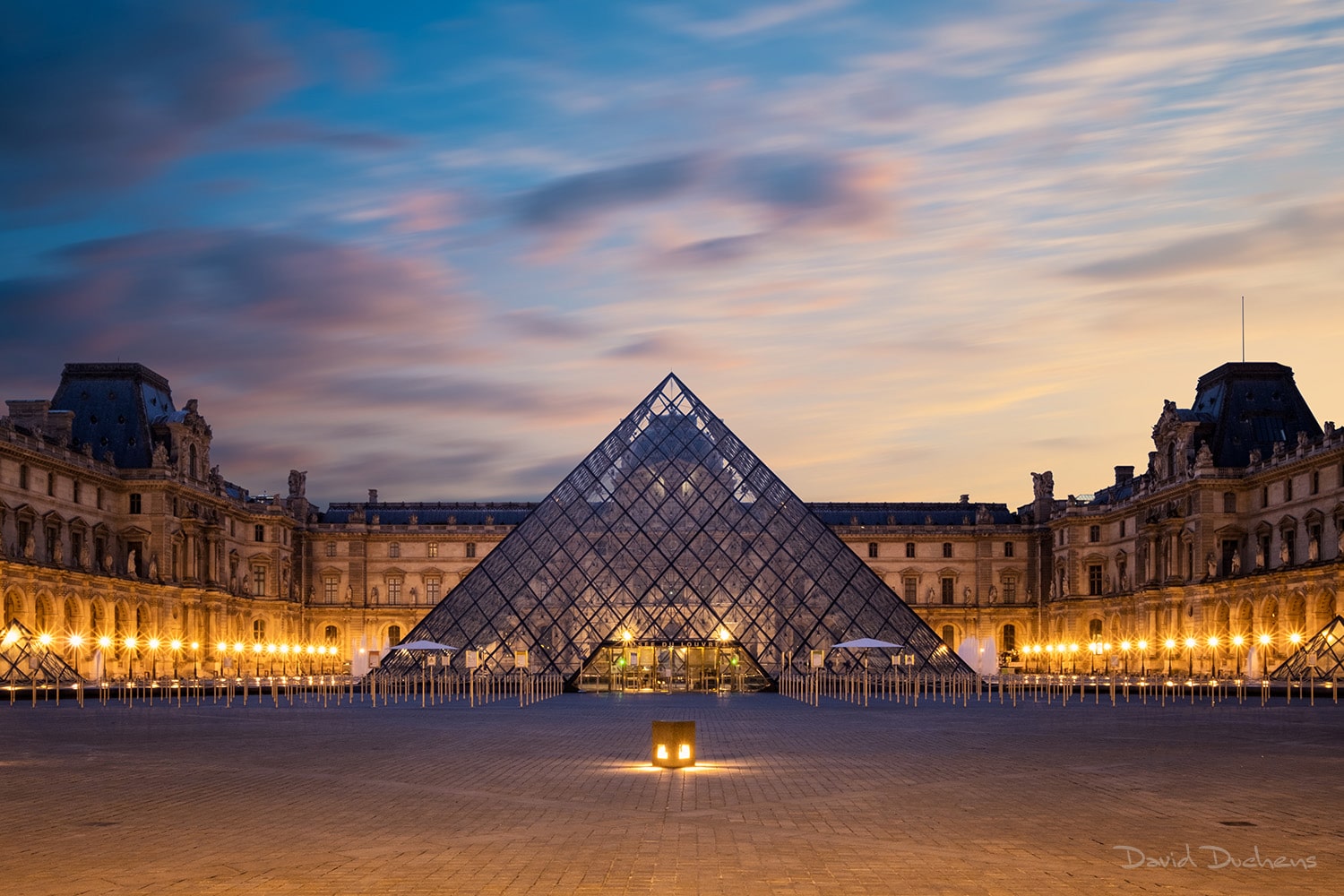
The Louvre Pyramid
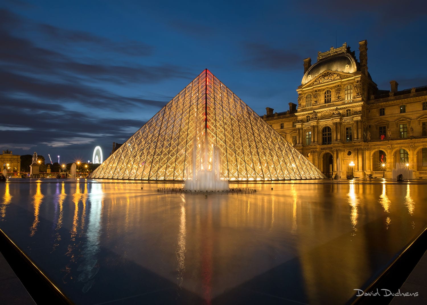
The Louvre Pyramid
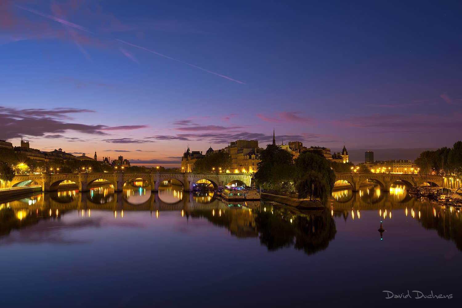
Île de la cité and Pont neuf
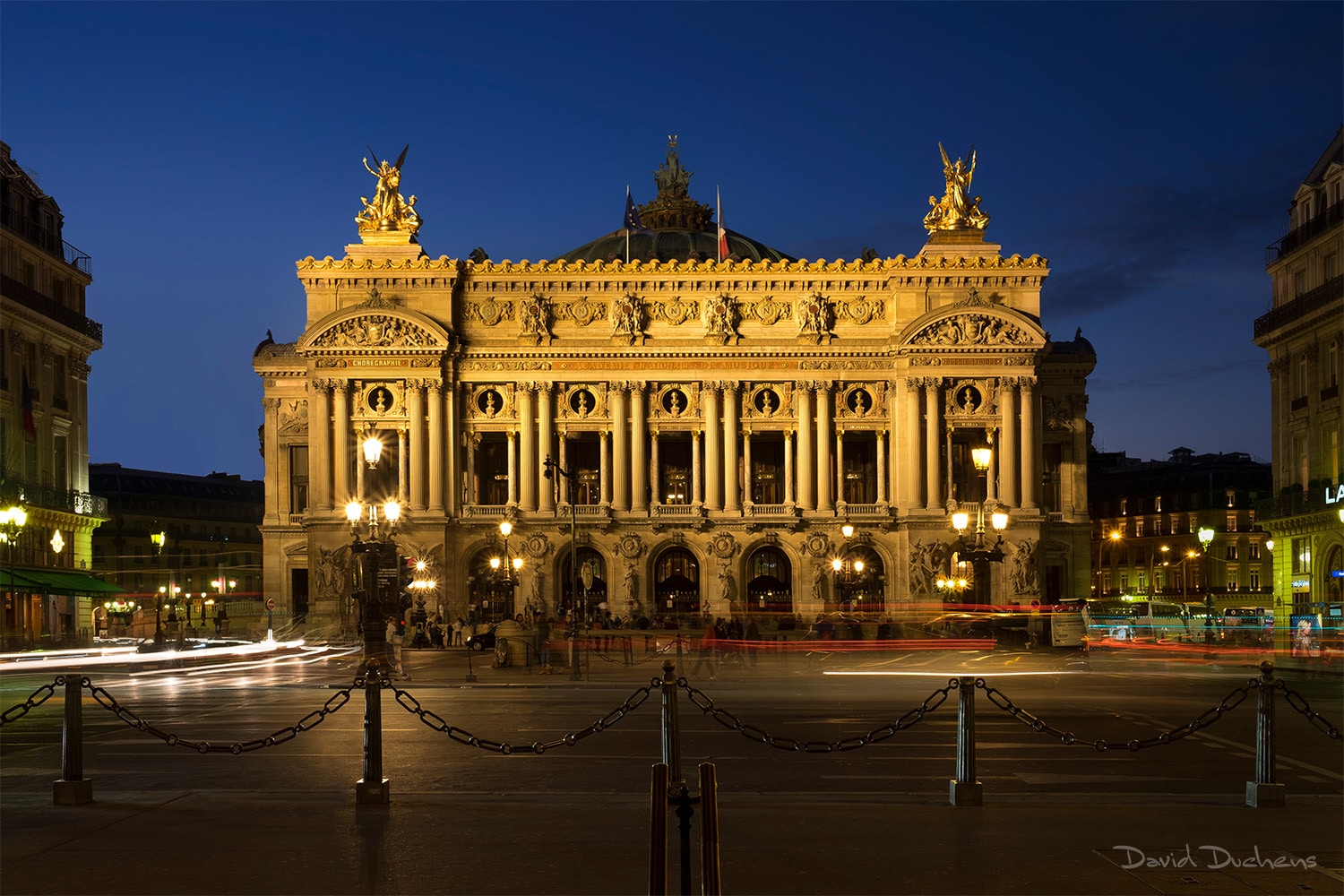
Garnier Opera House
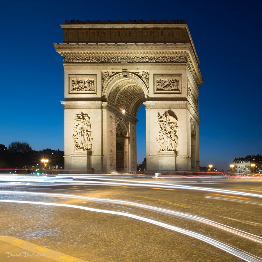
The Arc de Triomphe
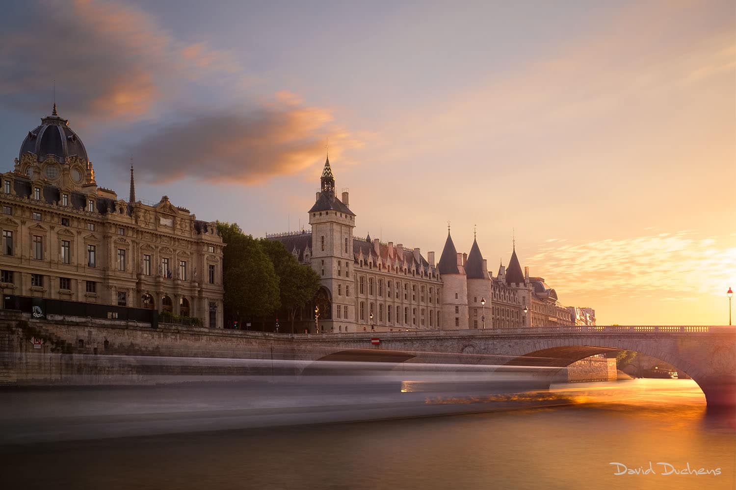
La Conciergerie
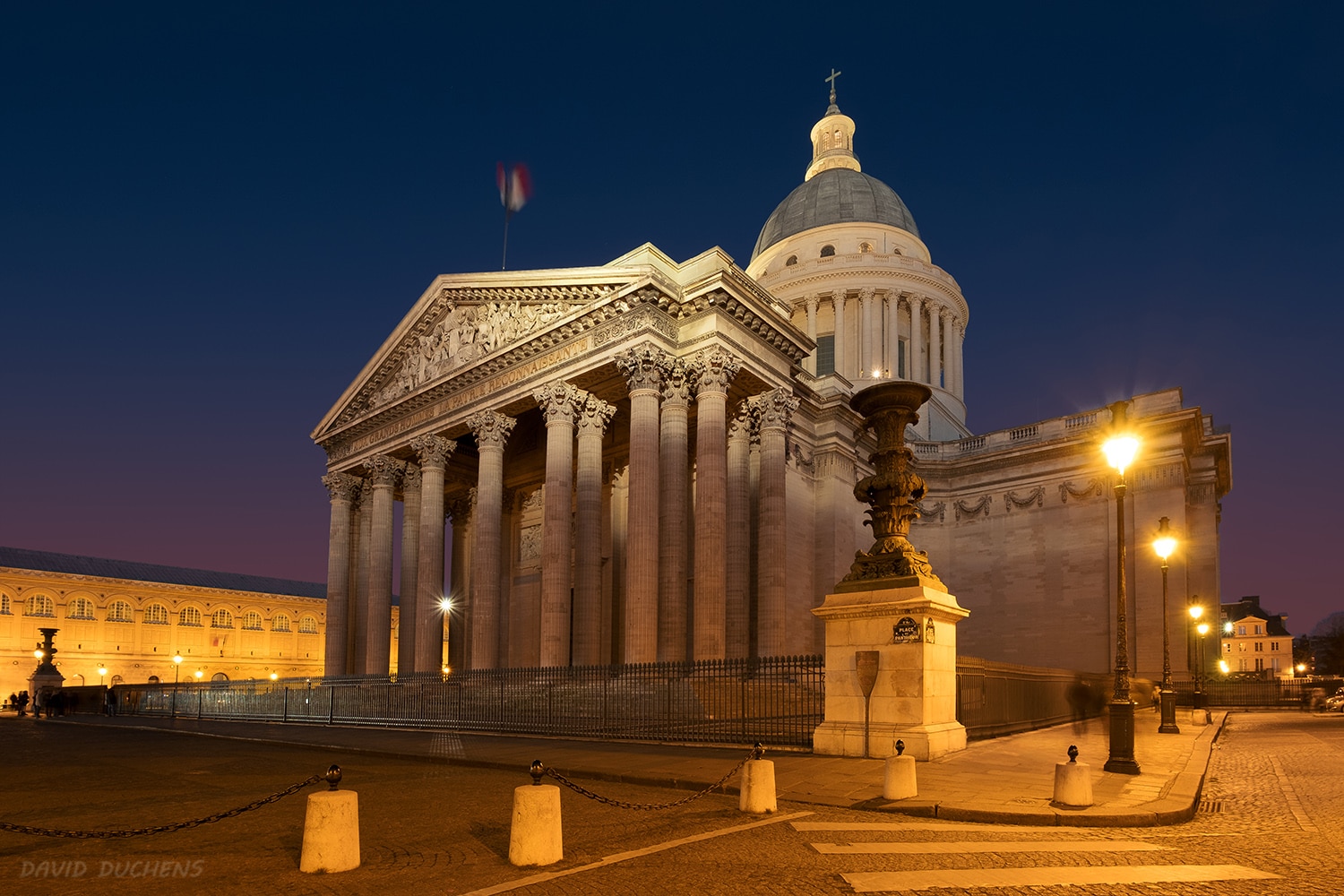
The Pantheon
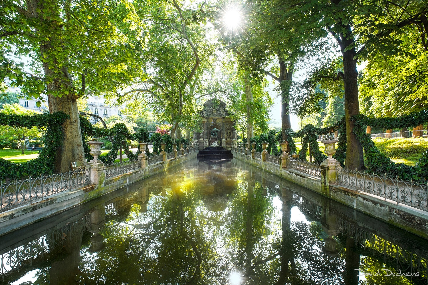
The Medici Fountain, Luxembourg Gardens
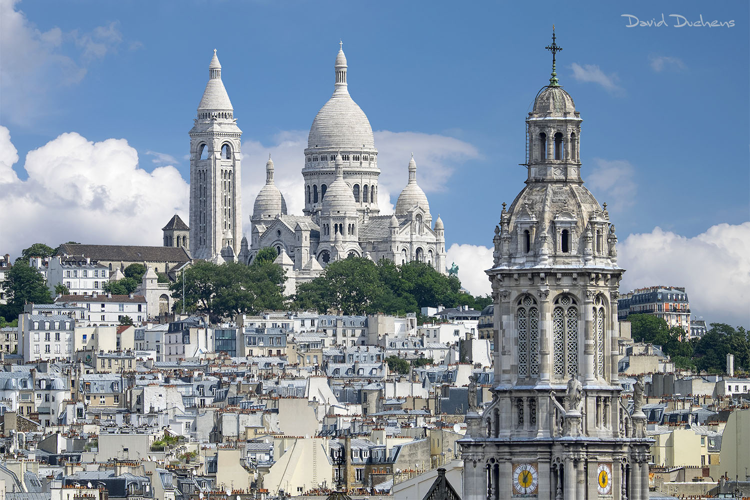
The Basilica of the Sacred Heart
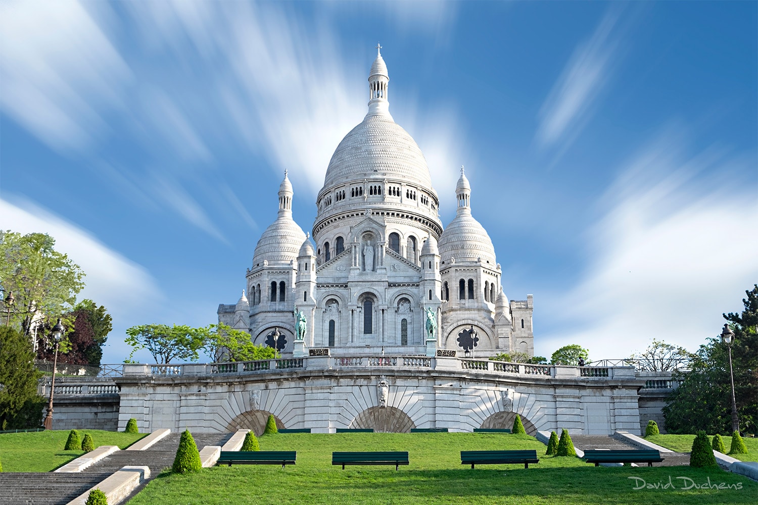
The Basilica of the Sacred Heart
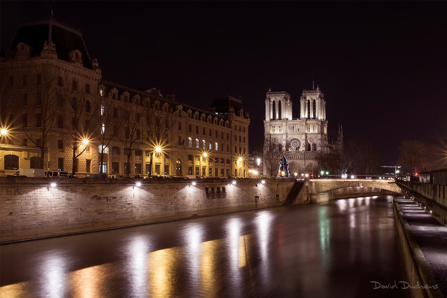
Notre Dame Cathedral
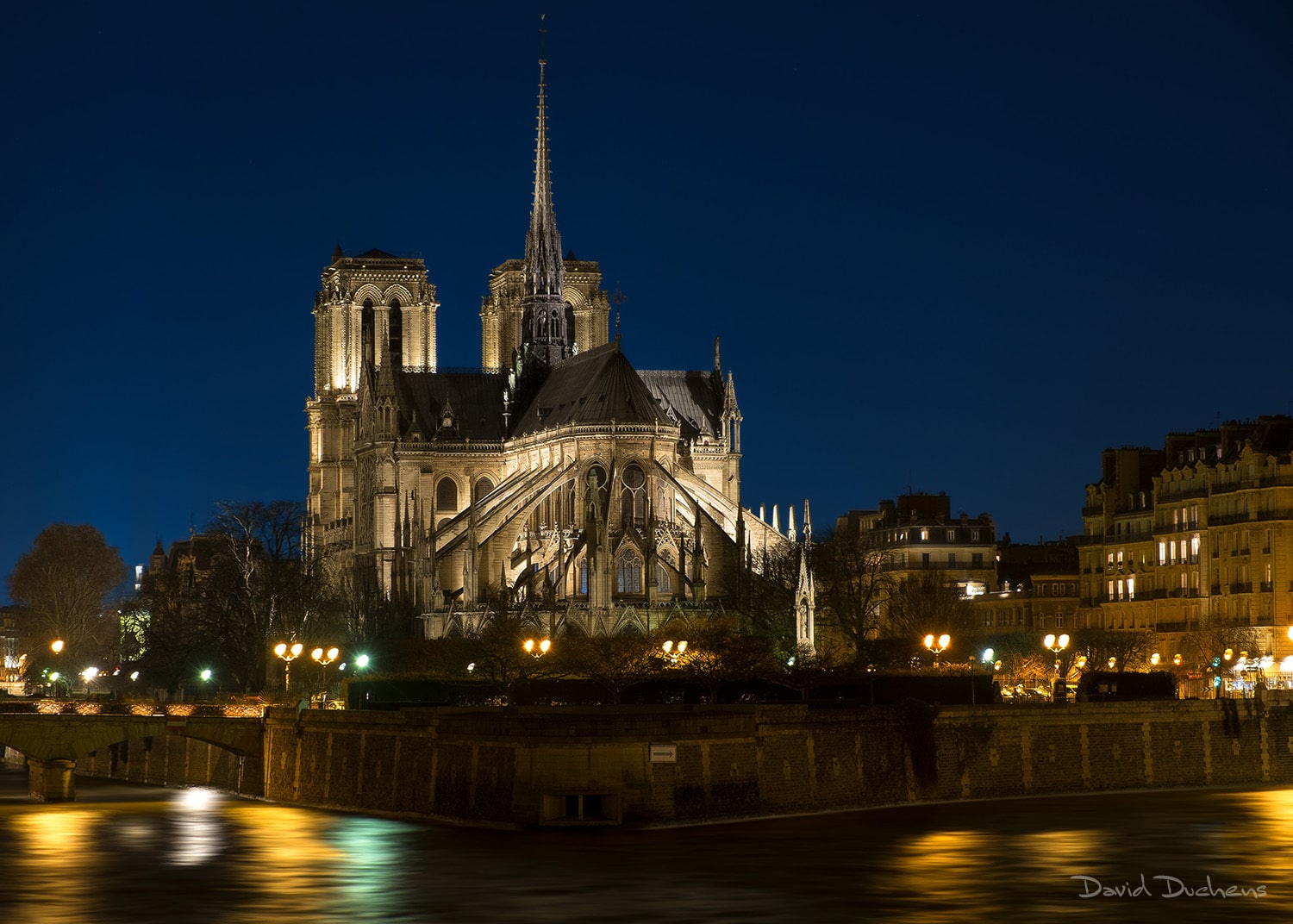
Notre Dame Cathedral
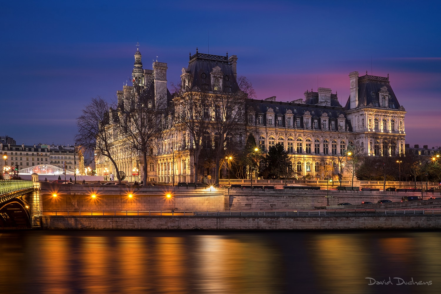
The Town Hall
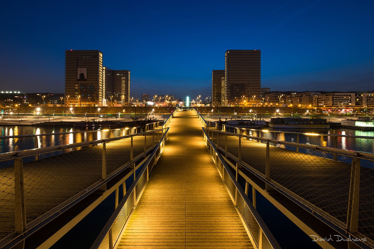
The French National Library
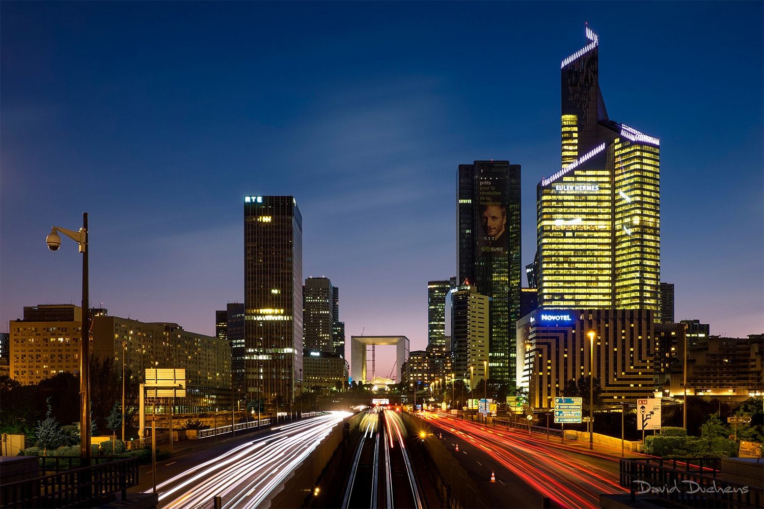
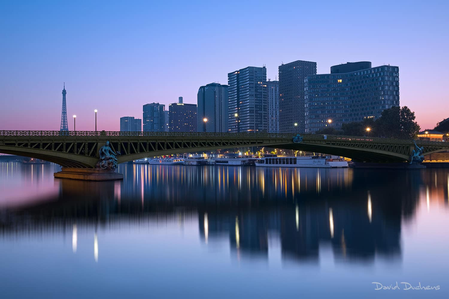
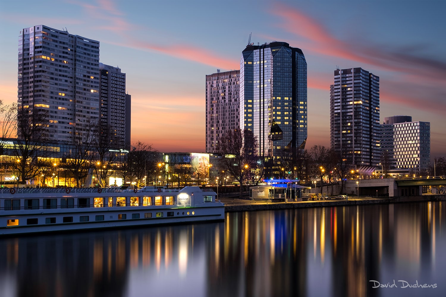
La Défense
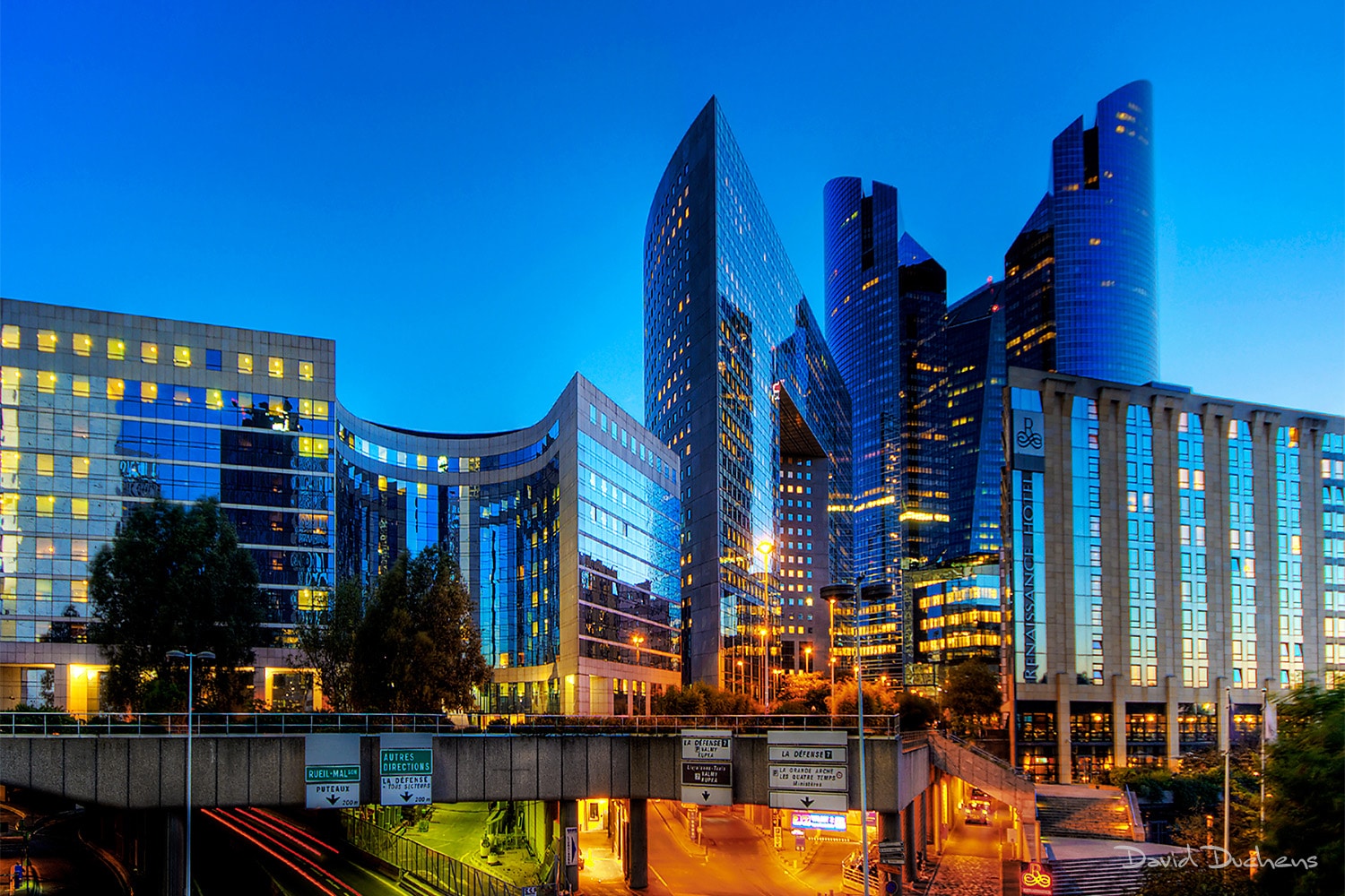
La Défense